
Elliston Coastal Trail
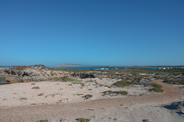
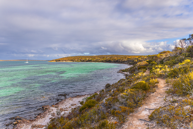
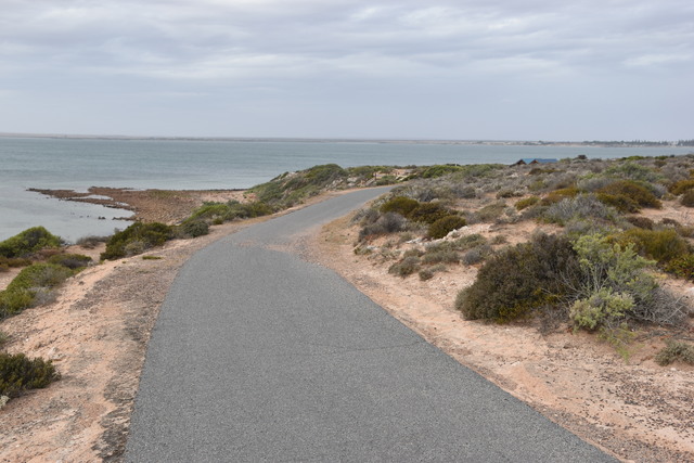
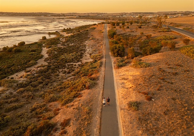
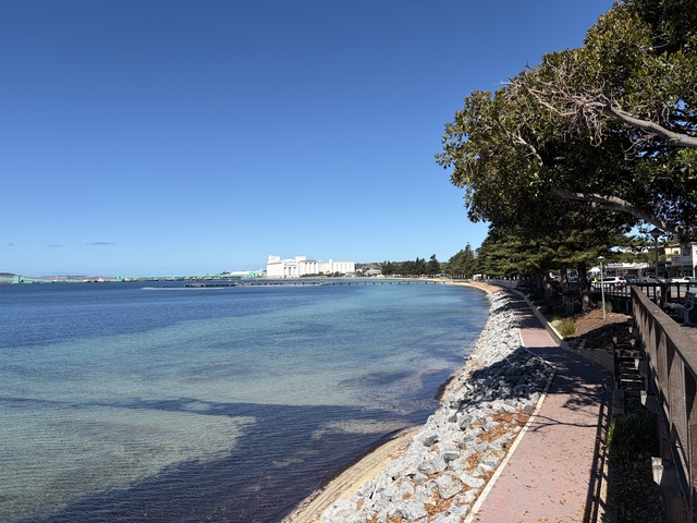
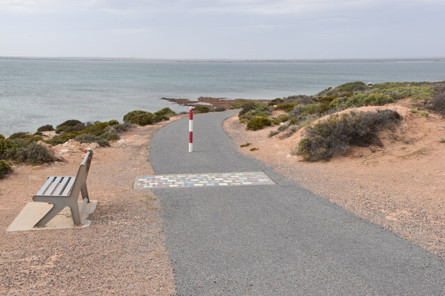
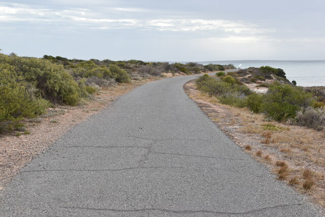
A nearly 14 kilometre walking and driving track, the Elliston Coastal Trail can also be undertaken in parts, with the smaller Little Bay Trail an easier two-and-a-half kilometre trek. Featuring unique coastal artworks, commemorative monuments, beach stops and never-ending coastal views, this trail can be tailored to all.
Venus Bay Walking Trails
The Point Smythe Nature Trail is a 6 km trail through coastal vegetation at Venus Bay. It is suitable for dogs as fox baiting is restricted there. It takes about two hours to complete.
The South Head walking trails are just a 10-minute walk from the Venus Bay Beachfront Tourist Park. They offer stunning views and sightings of dolphins, seals, and seabirds.
The Anderson Inlet Walking Track can be found in the Point Smythe Coastal Reserve. It is suitable for all skills levels and leads to the beach.
Locks Well
Take a walk at Locks Well down to the famous salmon beaches, via a 300-step talk to the beach. The beach is also a fishing spot for tommy riffs, mullet and occasional mulloway, which one needs to carry back up those steps to their vehicle.
Investigator Trail
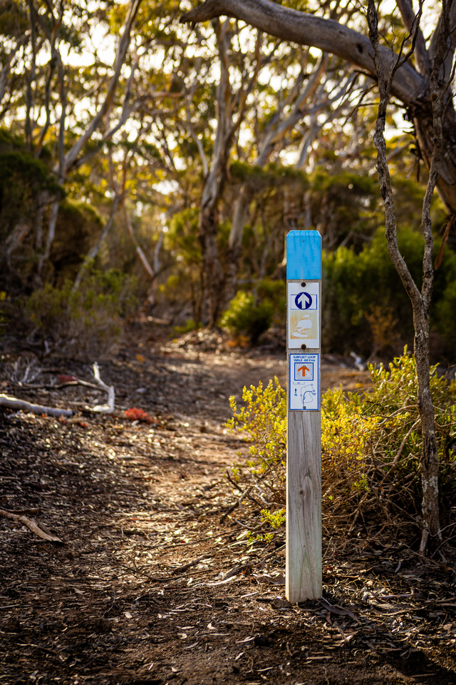
The Investigator Trail near Port Lincoln is a walking route of about 89 km through Lincoln National Park.
It winds along coastline, sheltered bays, beaches, coastal heath and mallee and can be tackled as a multi-day trek with camping or as individual day sections.
It is named after HMS Investigator, the ship of explorer Matthew Flinders, who charted the region in 1802.
Parnkalla Trail
Coffin Bay Oyster Walk
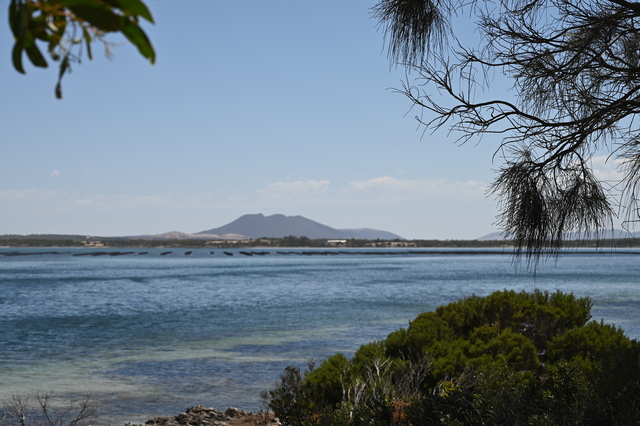
The main trail is nearly eight kilometres long, taking you through the township of Coffin Bay itself and offering Coffin Bay’s unique landscape of deep blue’s in the forefront of Mount Greenly. Stop for a taste of oysters when you need a break and be floored by the scenery at Coffin Bay Lookout.
Carappee Hill
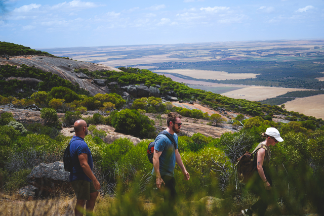
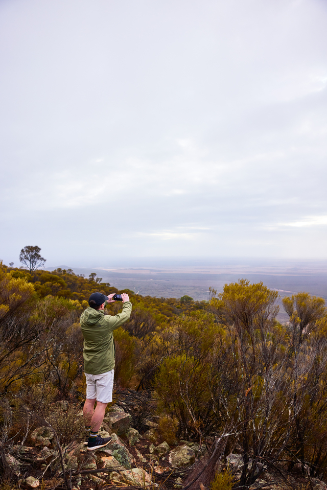
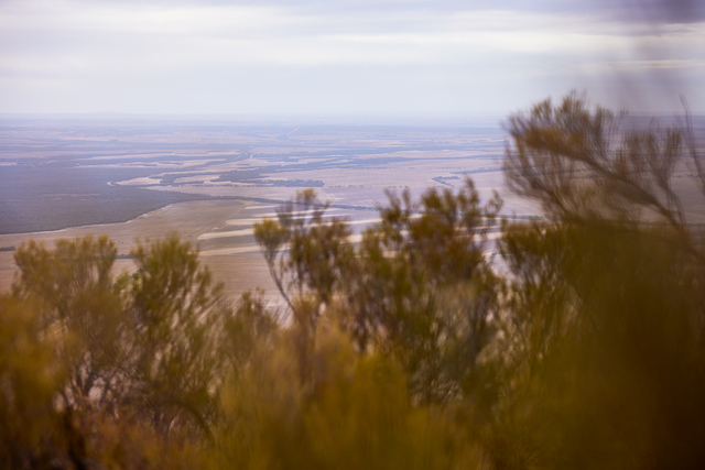
For those looking for a challenge, Carappee Hill hiking trail is steep terrain, taking about an hour to reach the summit. Nearly five kilometres round trip, this hike is worth the exertion to reach the highest point above sea level on Eyre Peninsula. It is 8 km north east of Darke Peak.
Cleve Heritage Walking Trail
Grab a Cleve District Visitor guide for a map and information on the 3km walking trail which highlights buildings and other areas and their significance.T he walk meanders along Main Street and parts of Second, Third, Fourth and Fifth streets. It is flat and wheelchair accessible and takes between one and two hours, however, it can also be driven in a bus or car.
Arno Bay Estuary Boardwalk
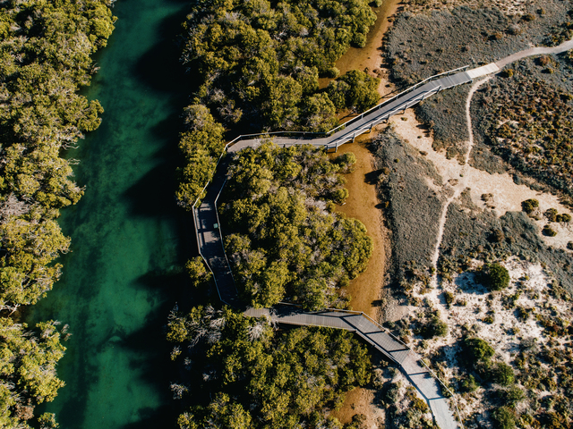
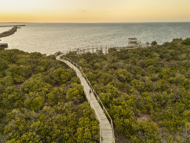
The Arno Bay Estuary Boardwalk winds through pristine mangroves and samphire habitats, showcasing the diverse beauty of the local waterways and mudflats. Visitors can choose the left path for direct beach access or take the right boardwalk to meander through the area’s unique coastal ecosystem. It is only a three-kilometre round trip with wheelchair access.
Arno Bay Coastal Boardwalk
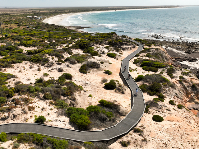
This track starts at the Arno Bay boat ramp and ends at Turnbulls Beach. The track is wheelchair accessible and dogs are allowed as visitors traverse the magnificent Arno Bay coastline. It is a show of community spirit as local volunteers maintain this track.
Whistling Rocks Boardwalk
Drive from Streaky Bay along the Cape Bauer Loop to find the well sign posted Whistling Rocks Boardwalk parking area. The boardwalk is 360 metres that leads one through the sand dunes to the cliff edge, to enjoy the ocean’s roar and hear and see the whittling from the blowholes. That blowholes are most active when the tide is high.
Streaky Bay’s Moores Trail
Moores Trail is a 7 km scenic walk that winds along the coastline at Streaky Bay from the town centre to the Moores boat ramp. One can is local sauna and flora and learn about the area’s history at Orlante Bridge.
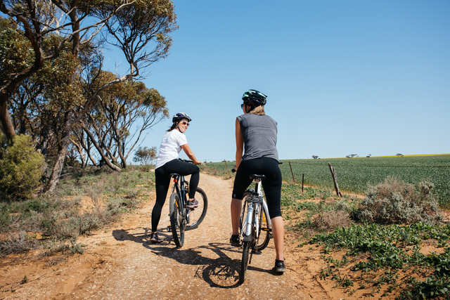
Take a break at a scenic lookout seat, or use the outdoor gym equipment. The trail is suitable for walking, biking, running, or even taking dog walking.
Sceale Bay Conservation Park
Sceale Bay Conservation Park, located in Yanerbie, offers an exceptional opportunity for walkers and hikers to immerse themselves in the natural beauty of the region with well-maintained trails that cater to all levels of fitness and provide a chance to explore the stunning coastal cliffs, sandy beaches, and native flora and fauna.
Point Sinclair campground to Point Sinclair Jetty
This is a scenic 3.2 km trail connecting the camping ground with the local jetty, offering views of the Great Australian Bight and Cactus Beach.
Cactus Beach
These trails provide a mix of scenic views, beach access, and opportunities for camping, making them ideal for a variety of outdoor activities. Always ensure to follow designated trails and respect the area’s natural beauty and wildlife.
Encounter Walking Trail
Ceduna’s Encounter Coastal Trail takes in the breathtaking Ceduna foreshore and snakes its way around to the tip of Thevenard at Pinky Point. Winding along the edge of Murat Bay, this trail is perfect for walking, running or cycling. The almost five-kilometre trail includes rest stops and interpretive signs relating to local history and culture. Pinky Point provides a great spot for photos.
Ceduna Foreshore Walking Trail
Enjoy the natural beauty of Ceduna walking along the 3.6 km trail that winds its way along the foreshore of Murat Bay. It is ideal for cycling, walking, and dog walking and has car parks at each end.
Caralue Bluff in Kimba
Caralue Bluff Reserve spans 2,200 hectares of rugged beauty, located 27 kilometres west of Kimba. Enjoy bushwalking and hill climbing as you forge your own path to the top of the Bluff, where breathtaking views await. There are no marked trails or facilities and everything is completely BYO so it is the ultimate spot for adventure seekers.
Kimba Pioneer Walk
The Pioneer Trial is an easy 1.9km scenic walk around the Kimba Recreation Reserve. It starts and finishes at the recreational vehicle park’s camp kitsch and is a clearly defined gravel path.
Roora Reserve Nature Trail
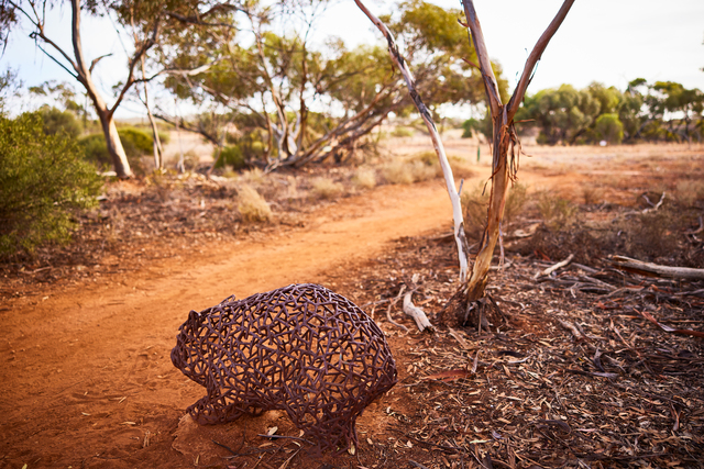
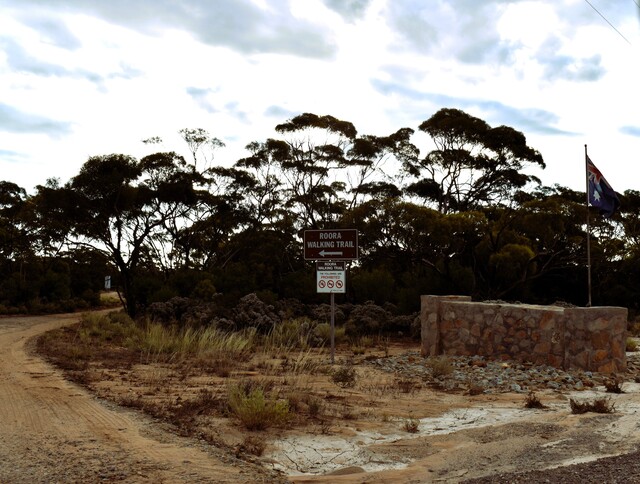
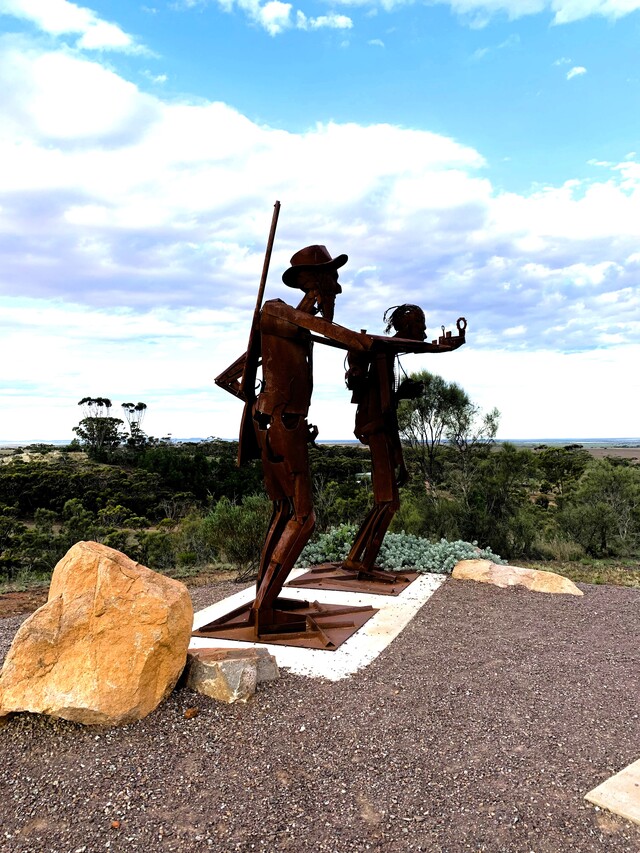
The nature is on the outskirts of Kimba and is a 6 km return walk featuring several recycled steel sculptures of native animals including an echidna, emu and wombat. Signs give information about features along it. The first 2 km through the old Roora Water Reserve are easy walking, with the third kilometre gradually rising towards Whites Knob Lookout. The lookout provides a great view of the outskirts of Kimba as well as a unique sculpture of Edward John Eyre and his Aboriginal tracker.
Kimba Arts and Heritage Trail
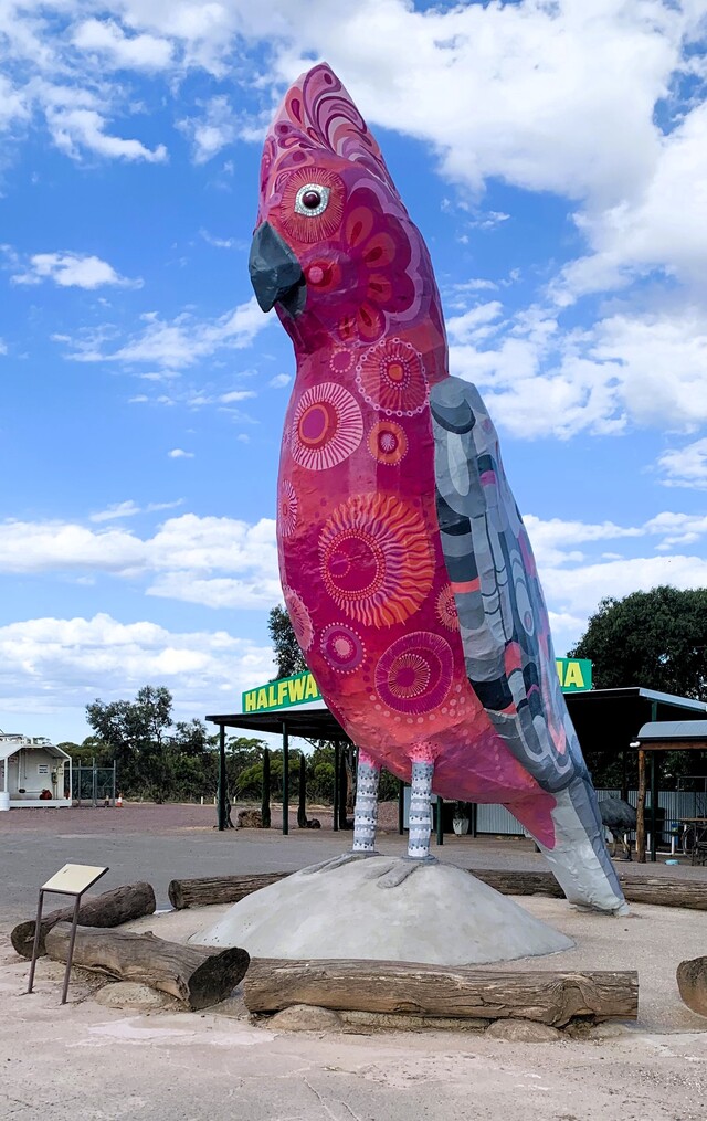
The arts and heritage trail is an easy walk within Kimba township taking one through vibrant public art, local culture, and key historical landmarks, which tell of Kimba’s growth from a pioneering farming settlement to the vibrant rural community it is today. See colourful murals and sculptures reflect the spirit of the community – its landscapes, people, and resilience, including the Kimba Silo Art with its breathtaking mural, the Big Galah and historic buildings.
Wudinna
Wudinna has a number of walking loops in and near the town. The Local Loop takes you on a 3.3-kilometre walk through the town, while the 3.7km Lovers Lane Loop heads through the residential area and outskirts of the town. To stretch your legs further, enjoy the 16km Wudinna to Polda trail that will take you to Polda Rock and near Mount Wudinna. On the way you will see the town’s iconic metal emus sculptures.
Pildappa Rock
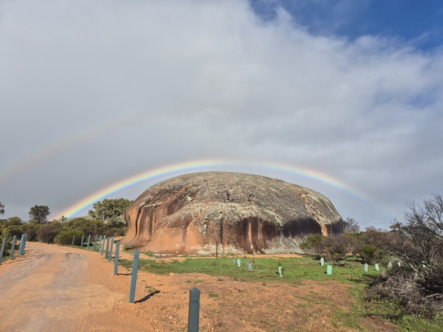
Pildappa Rock features a near-1.5km walking loop around its base, showcasing the impressive granite structure. The area has been recently upgraded by Wudinna District Council, with picnic and barbecue facilities and new camping areas. It is an easy climb to the summit to see stunning panoramic views of the Gawler Ranges.
Cowell Mangrove Boardwalk
Only a short 150m walk, the mangrove boardwalk starts at the Cowell foreshore along to the south near the boat ramp. It sits in an enclosed tidal aquatic area and is ideal for fishing. Find out more about the species that inhabit the mangroves in the information hut.
Cowell Historical Town Walk
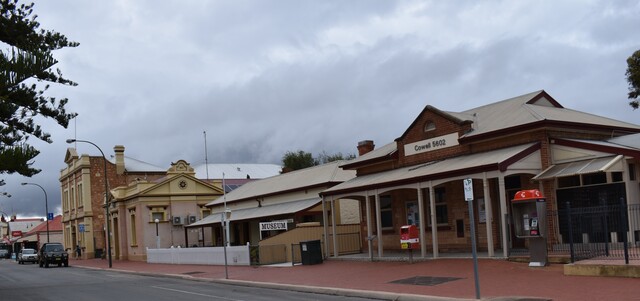
Grab a brochure from the visitor information centre in the Franklin Harbour Institute on Main Street. Start at the Lions Park on the foreshore take a walk around Cowell, and discover the origins of the original buildings on Main Street – many built in the late 19th century or early years of the 20th century. Visit the Agricultural Museum and end with the museum at the old post and telegraph site, and house, next door to the present day post office, which was built in 1910 when the telephone exchange was introduced.
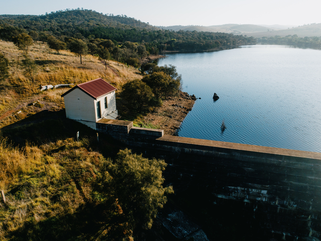
Yeldulknie Weir and Reservoir Walking Trail
This circuit is a little more than three kilometres and the trails are perfect for spotting birds and other wildlife. Visitors who use the facilities, camp or stay in their campervans, caravans or RV’s are encouraged to leave a donation in the donation box which goes towards the Cleve Lions Club, who volunteer their time to maintain the area.
Lady Kinnaird Walking Trail at Port Neill
The trail begins at the large achor opposite the Port Neill Hotel and followers to foreshore and through the sand dunes to a series of small coves. It commemorates the shipwreck of the Lady Kinnaird in 1880, it signposted and has benches for resting along the way.
Port Neill Coastal Explorer walking trail
The 5.6 km trail is suitable for both walking and running as ut is well maintained and offers stunning coastal views.